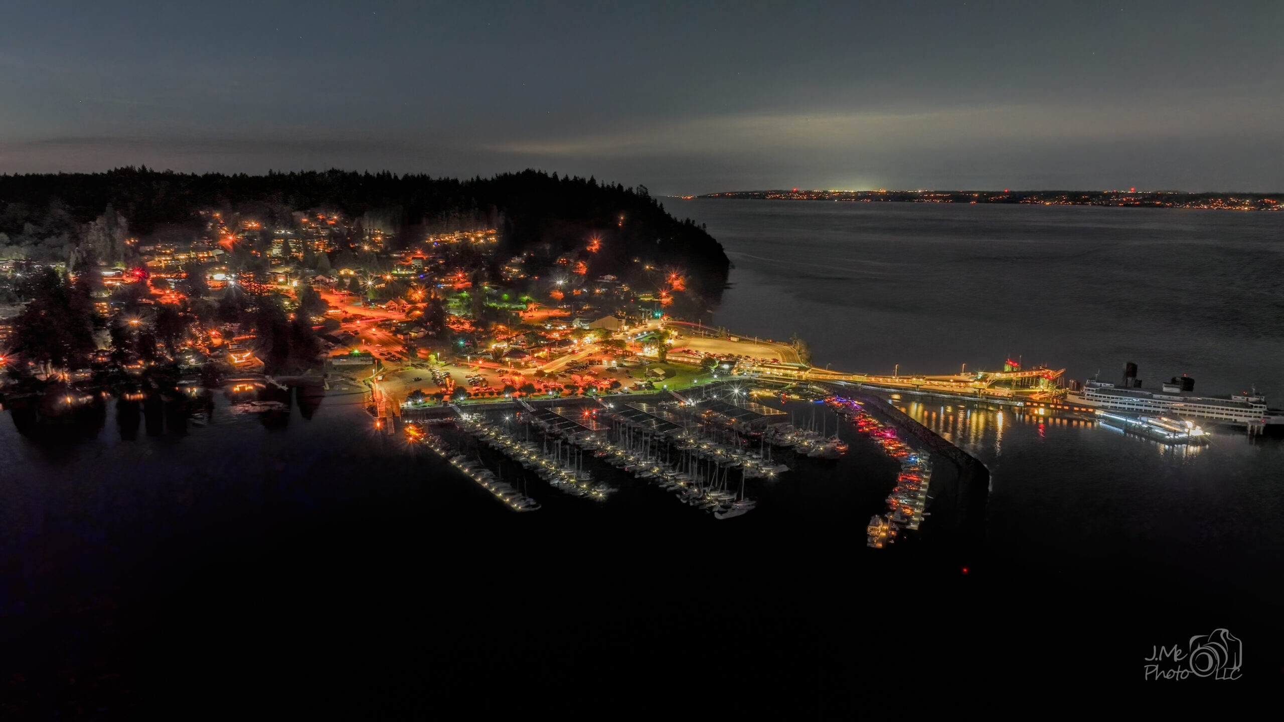
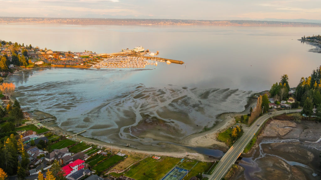
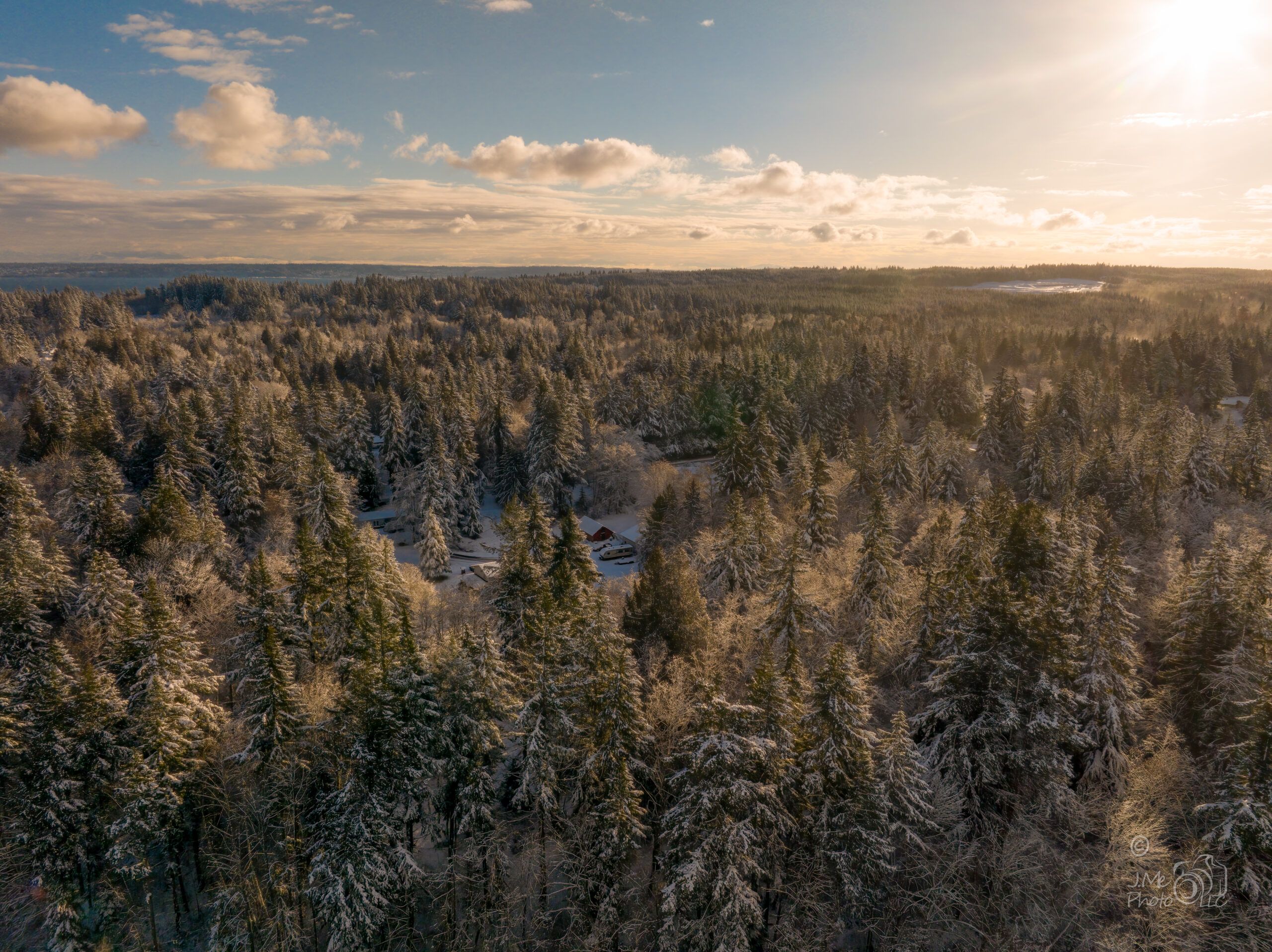
Some things can only be seen from above. Most of what I fly is on or near the water — marinas, working vessels, shoreline, and the bridges that cross it. The rest is whatever needs to be seen whole: a site, a property, an event.
Certified, and insured for the flight
Flying a drone commercially in the United States requires an FAA Part 107 remote pilot certificate. I hold one. Insurance is arranged for each job, so the coverage matches the work rather than sitting as a line in a brochure.
Some sites sit in controlled airspace and cannot legally be flown without authorization first. Sorting that out is part of planning the flight, not a surprise on the day.
On the water
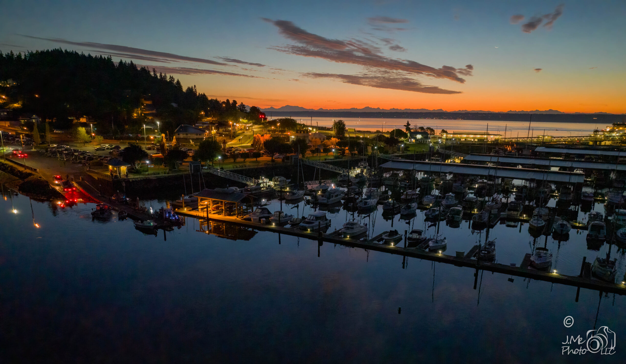
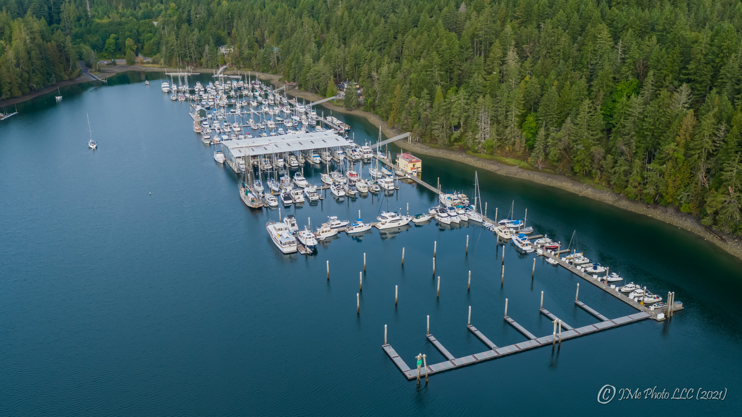
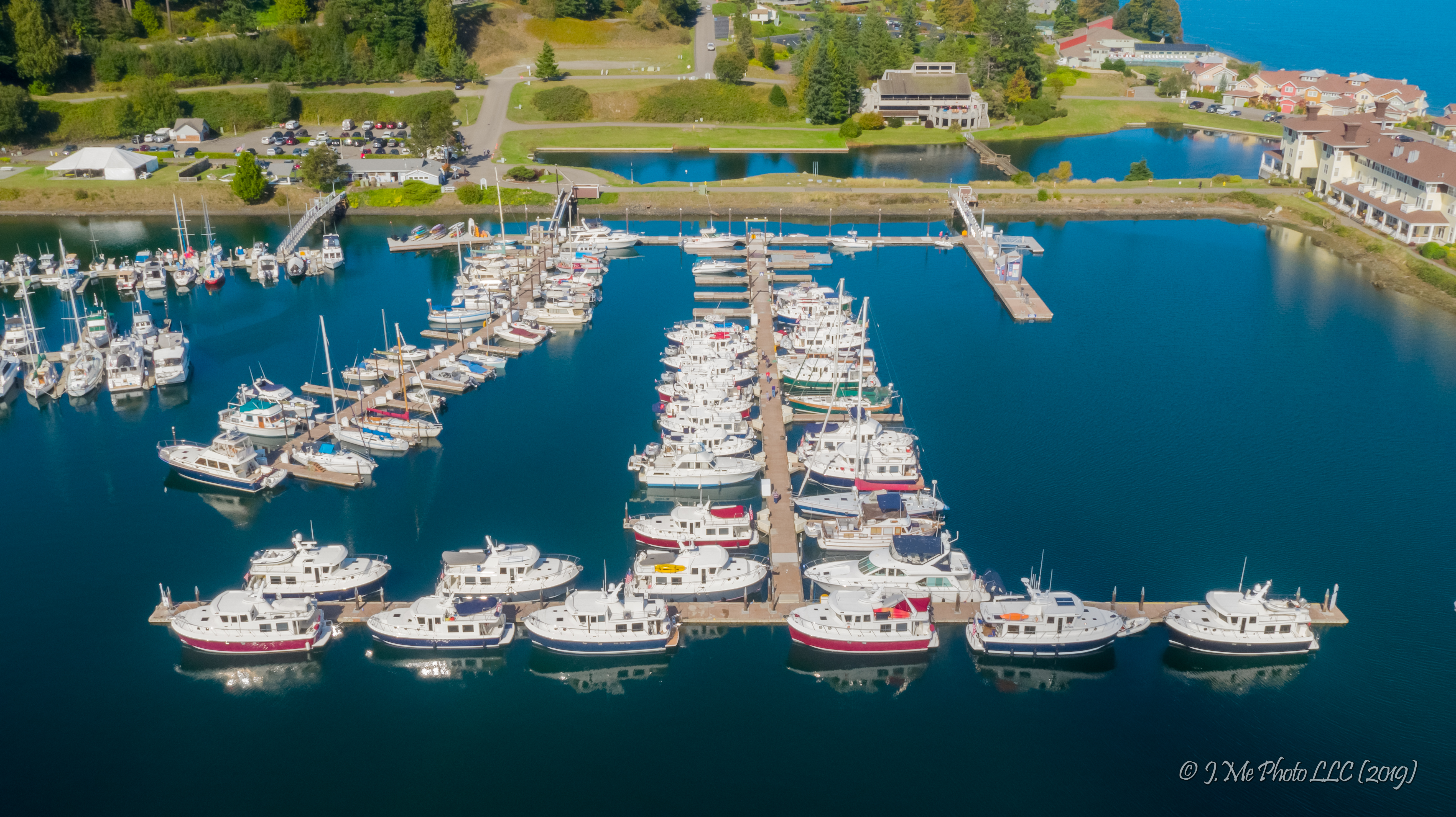
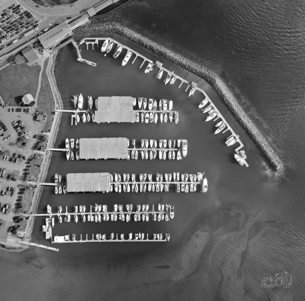
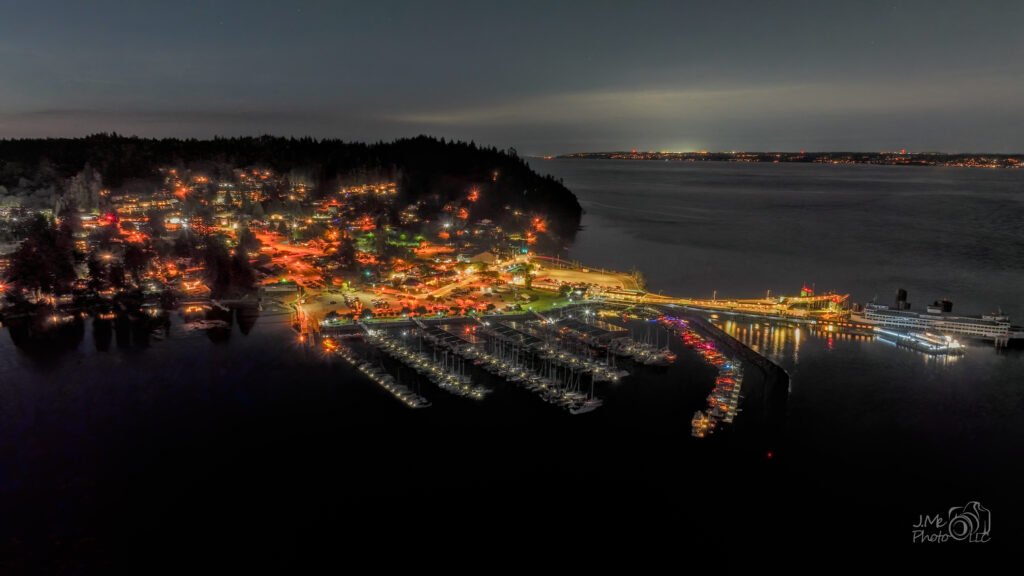
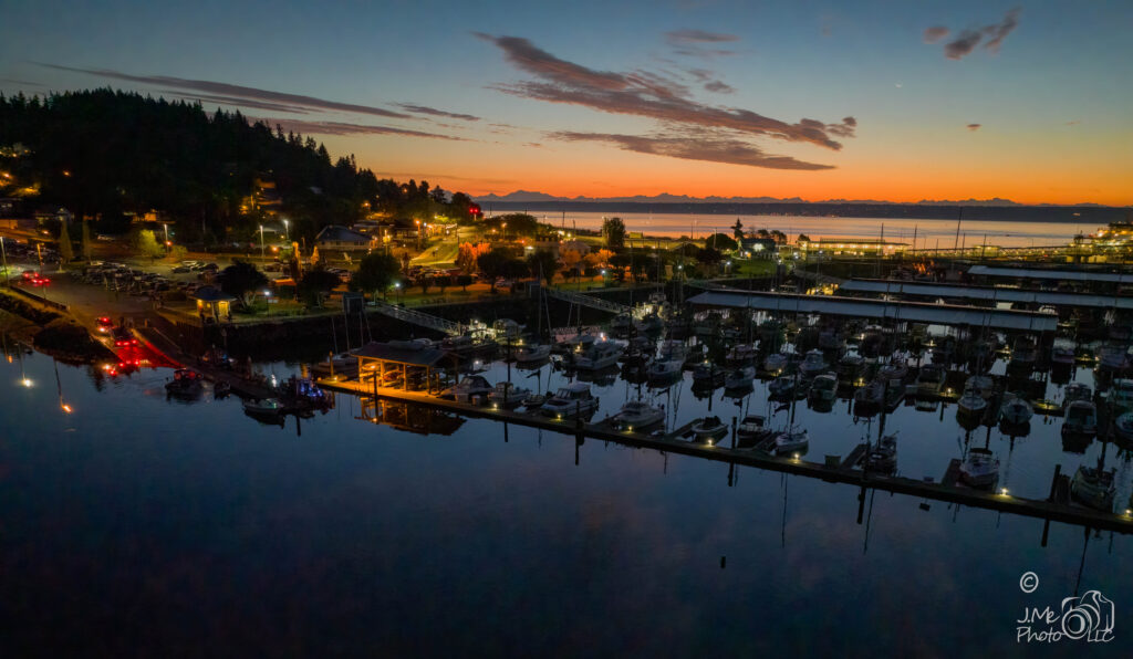
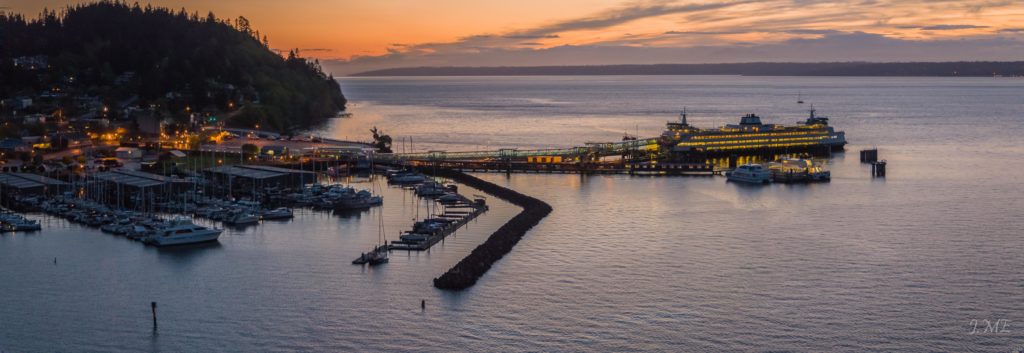
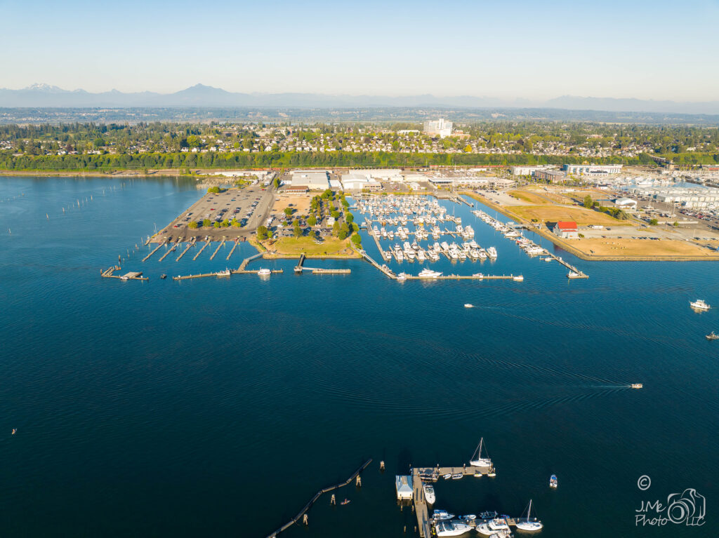
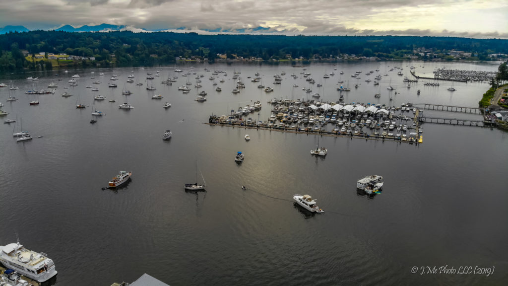
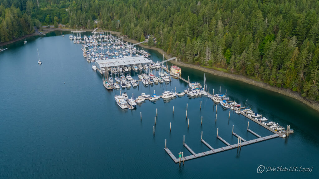
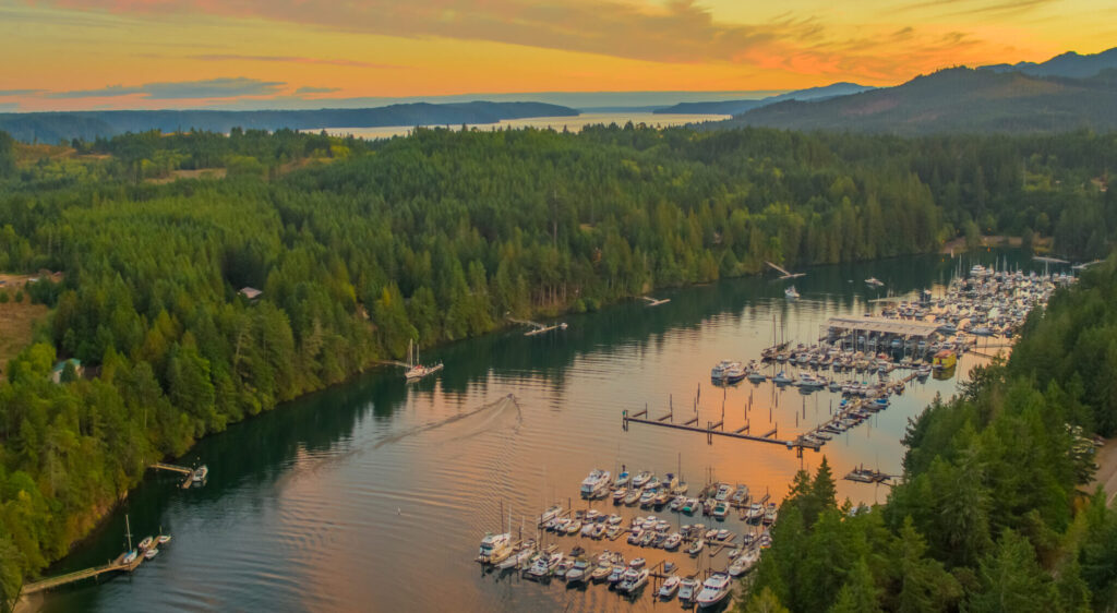
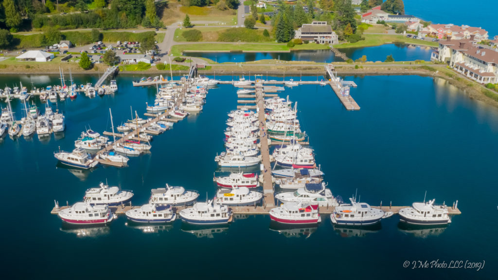
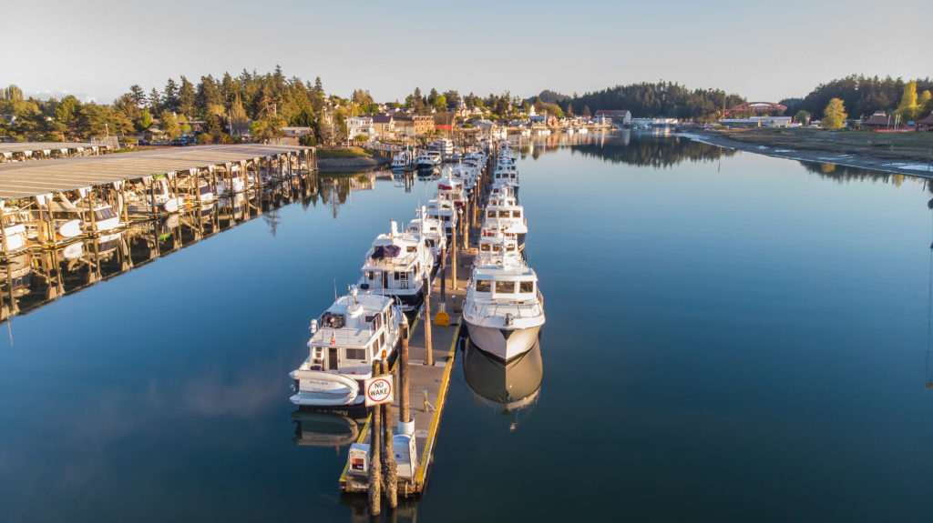
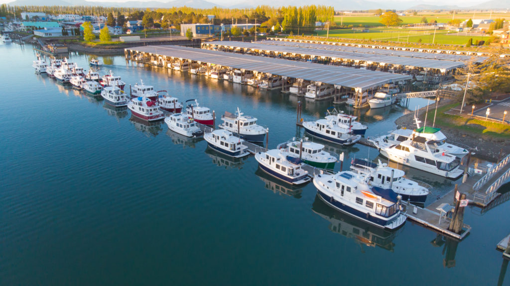
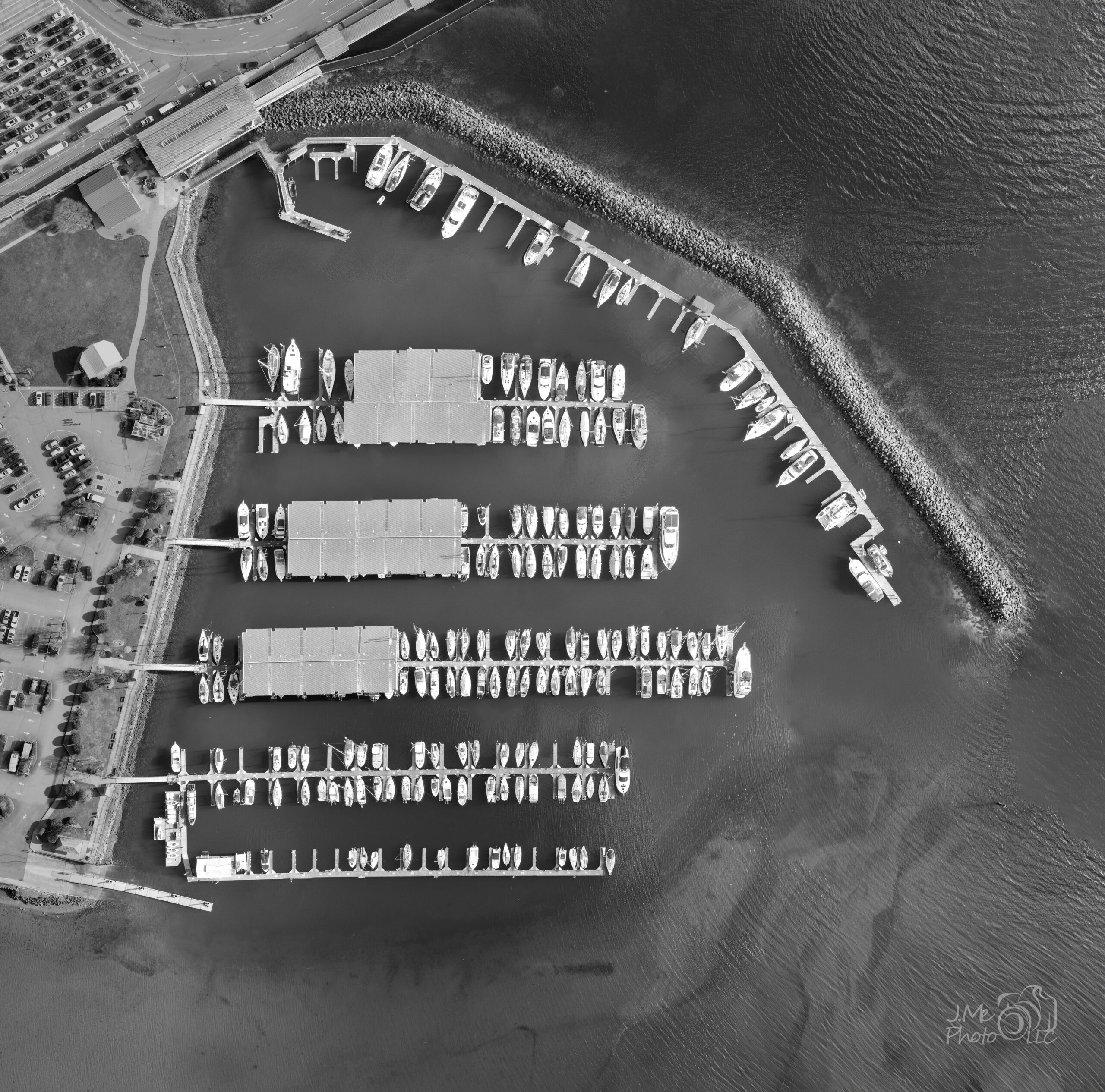
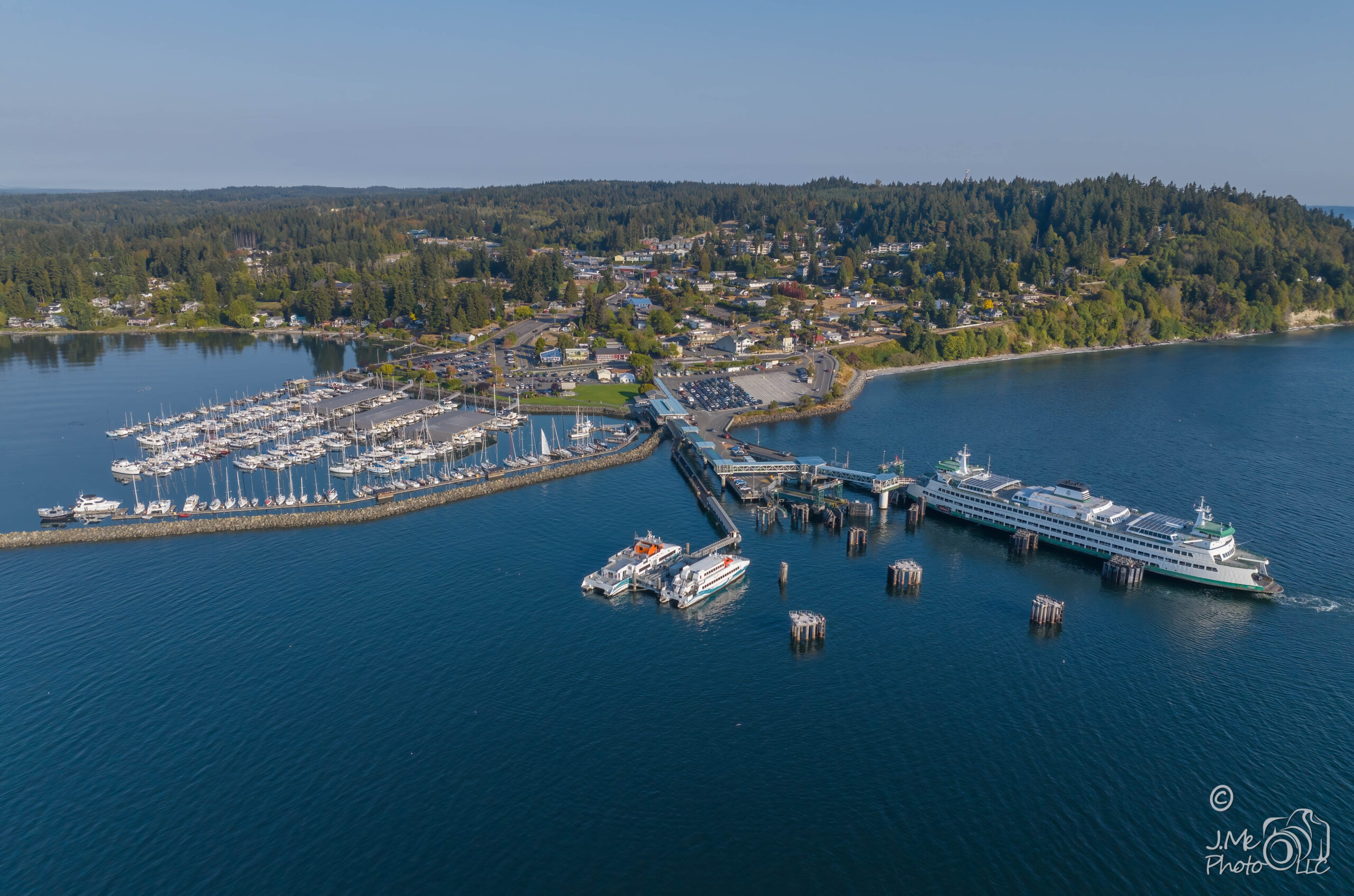
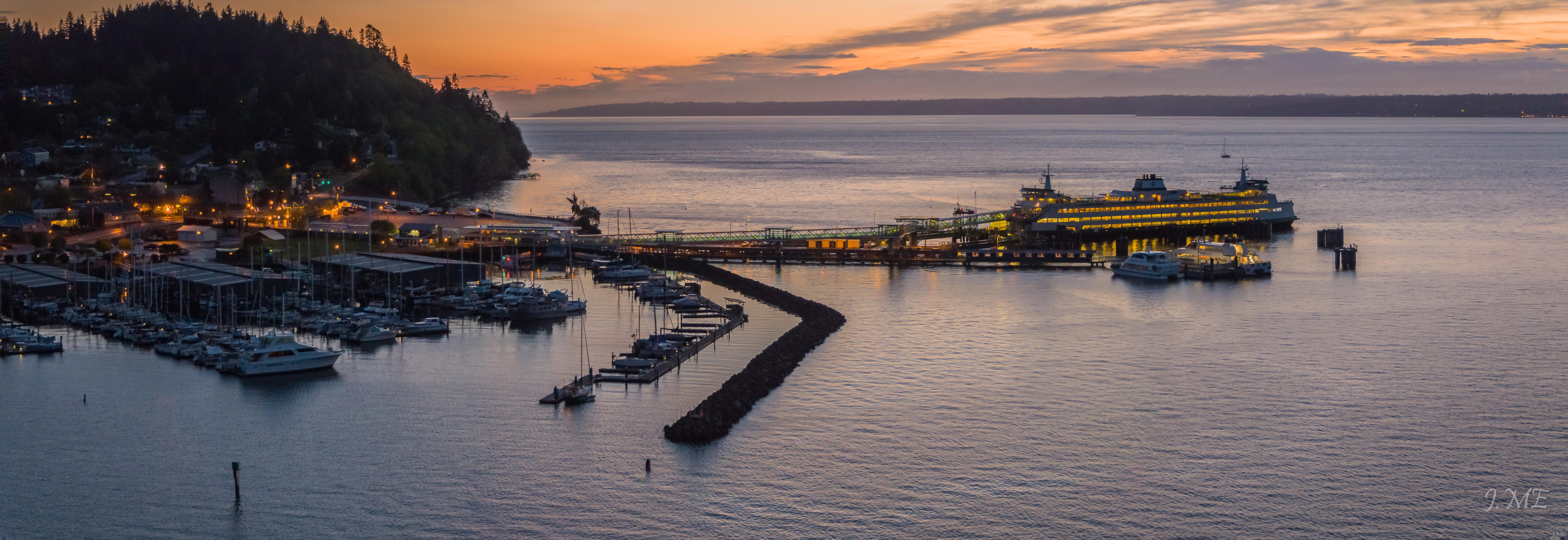
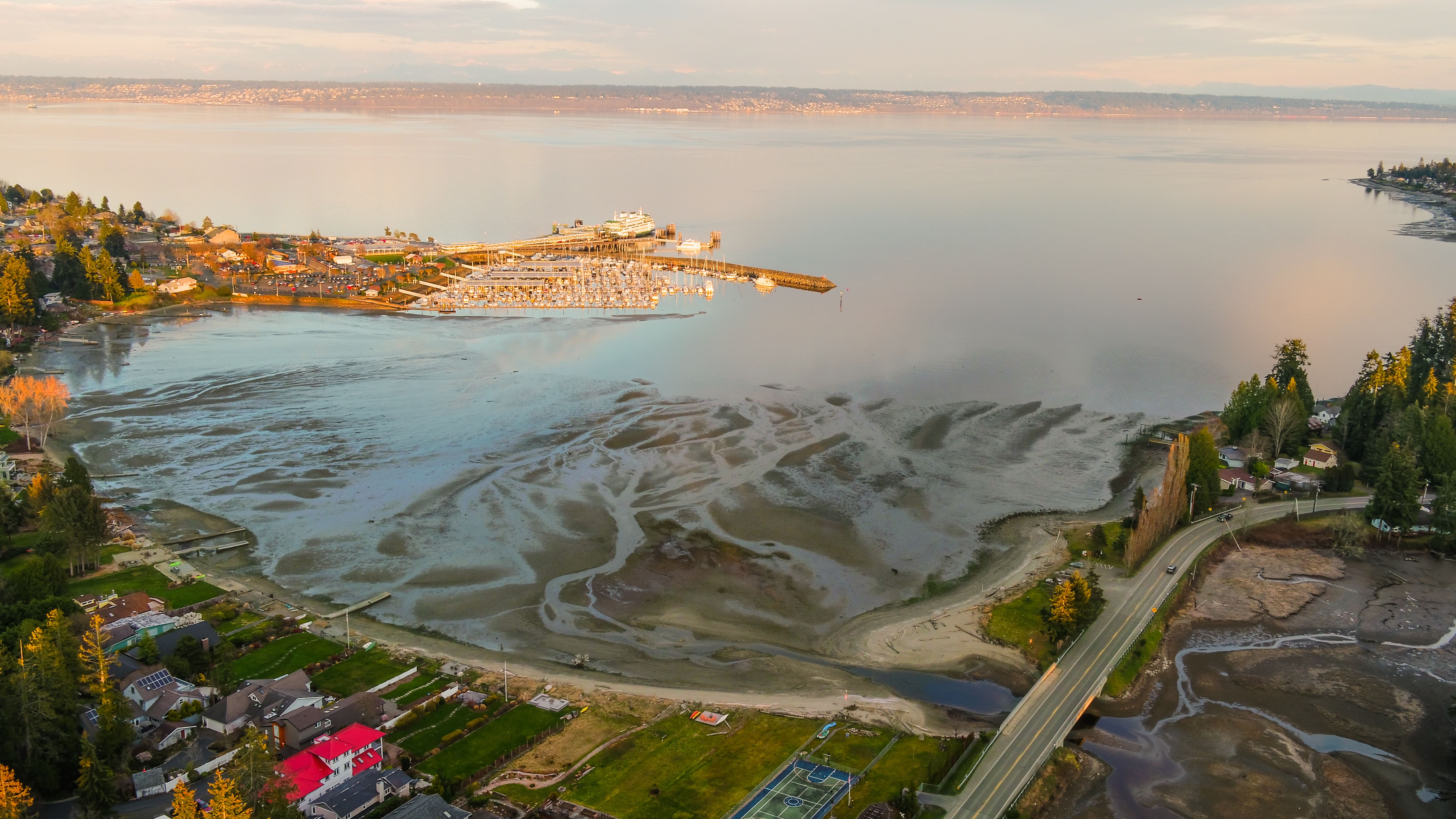
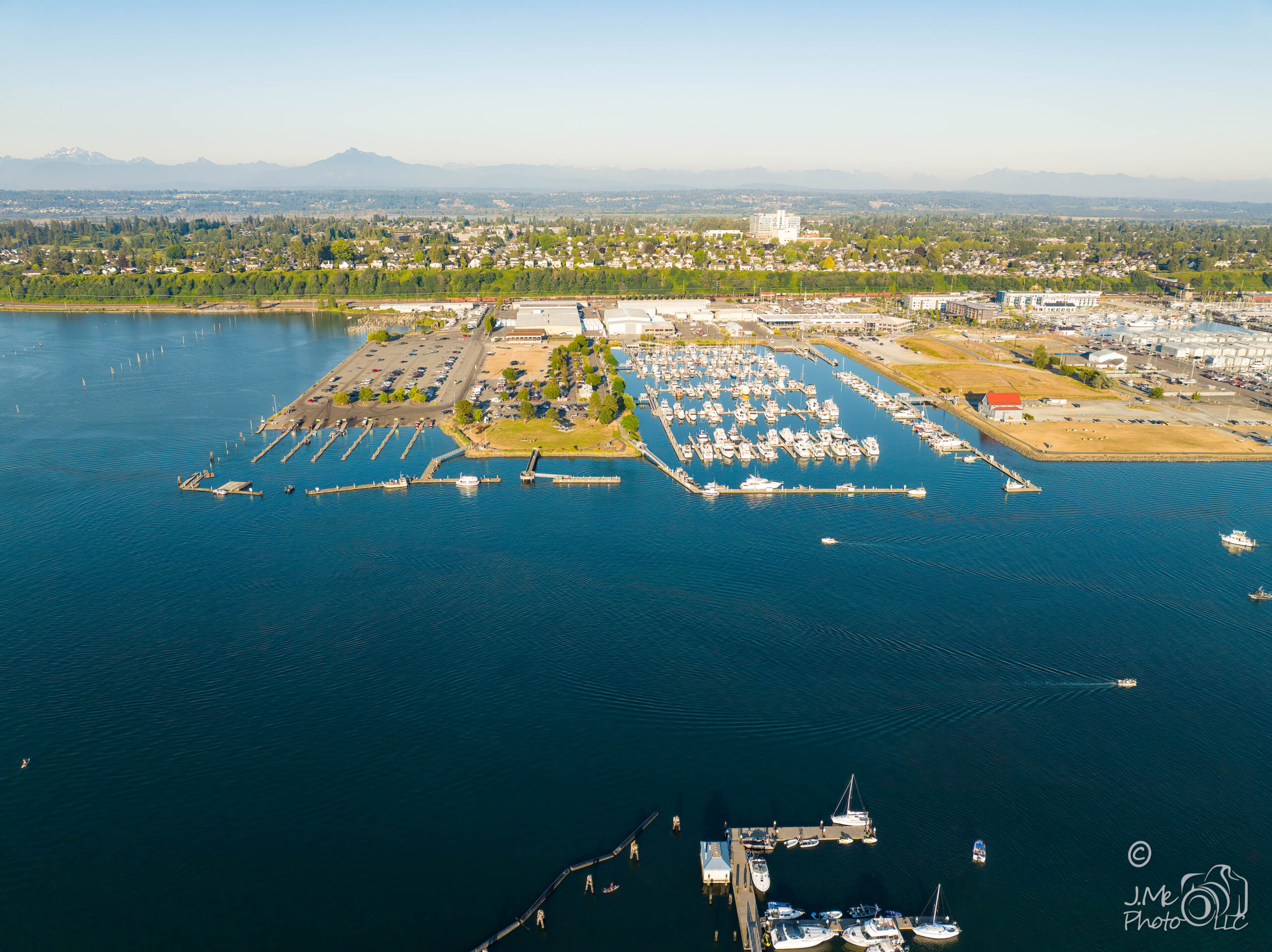
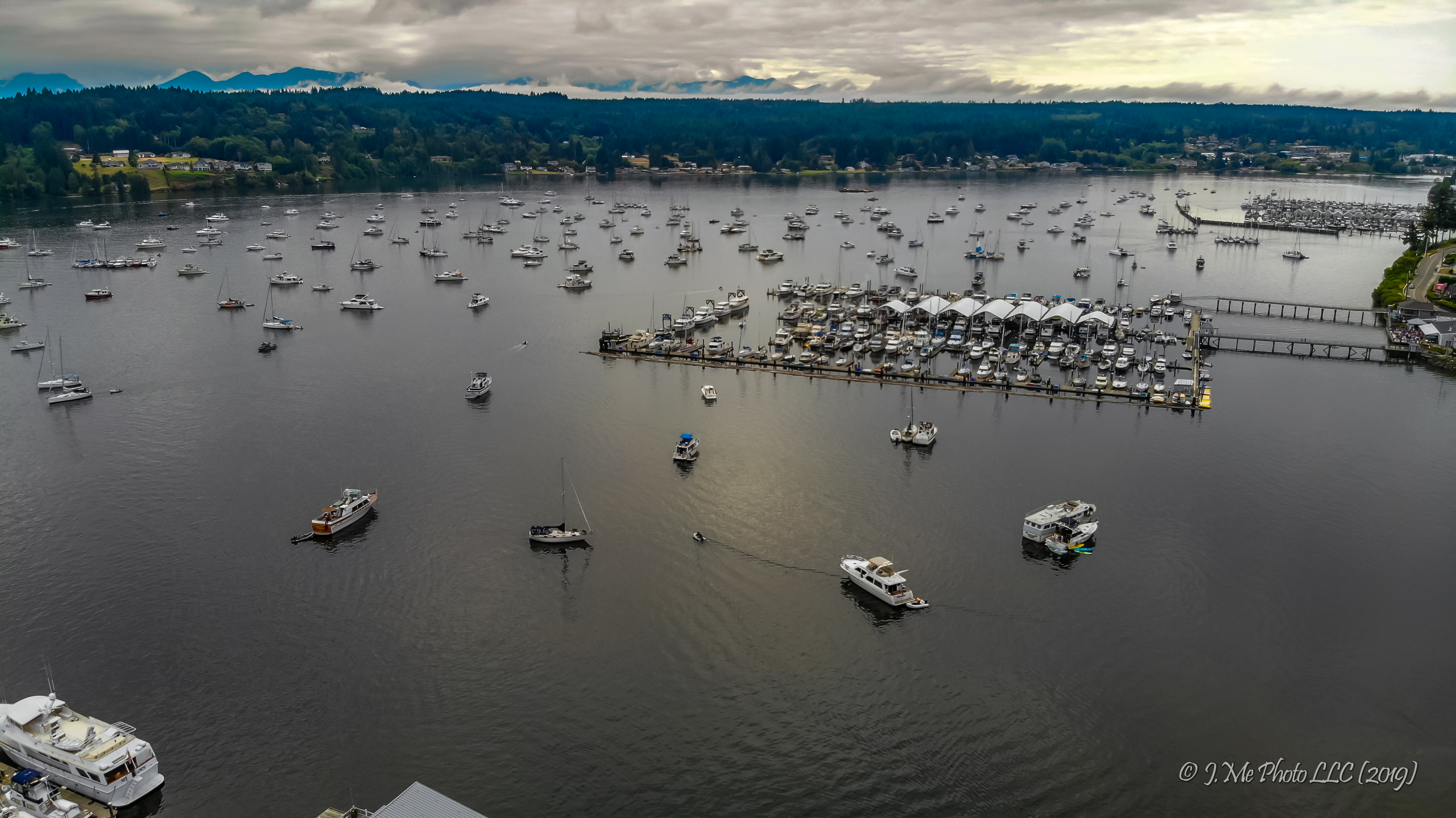
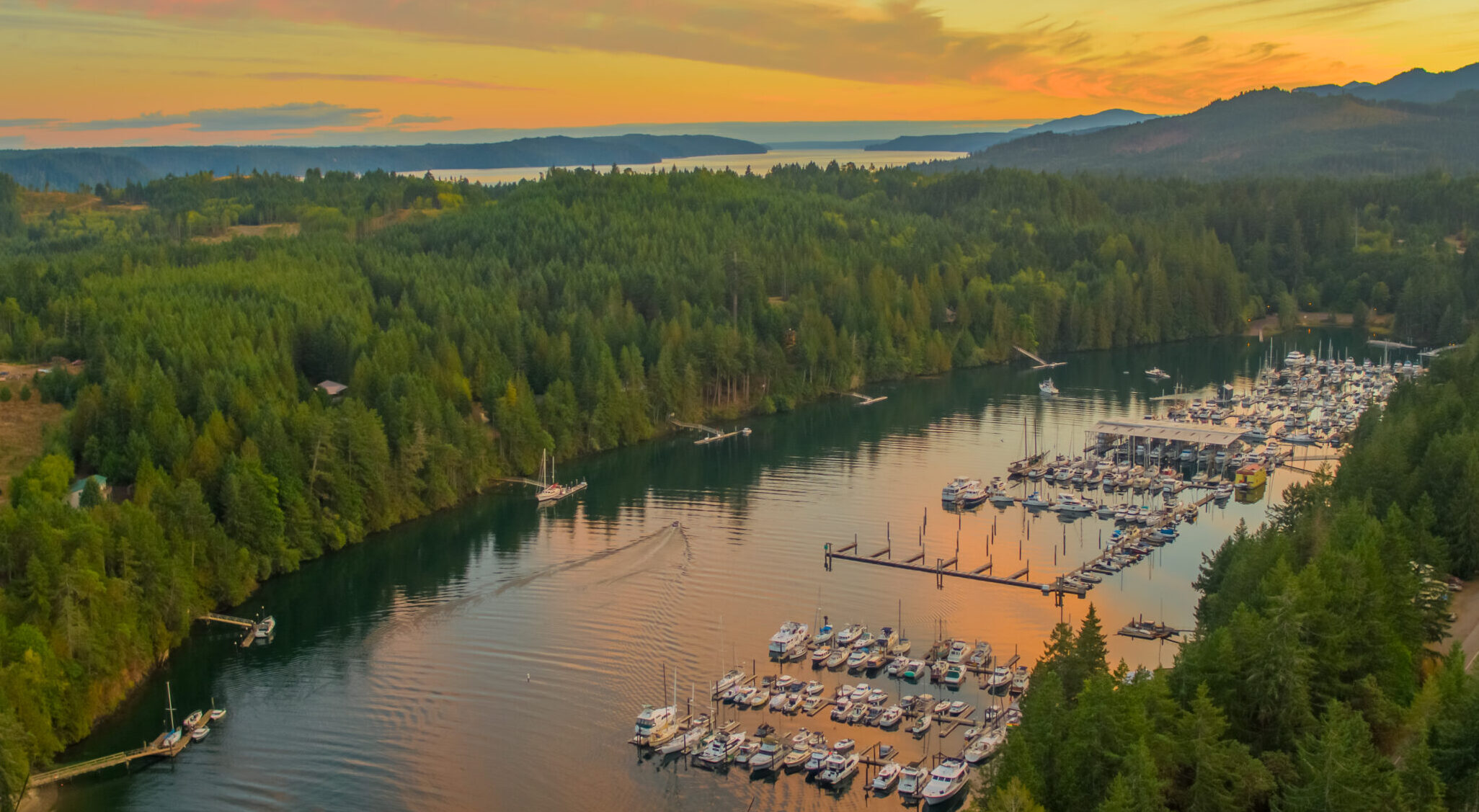
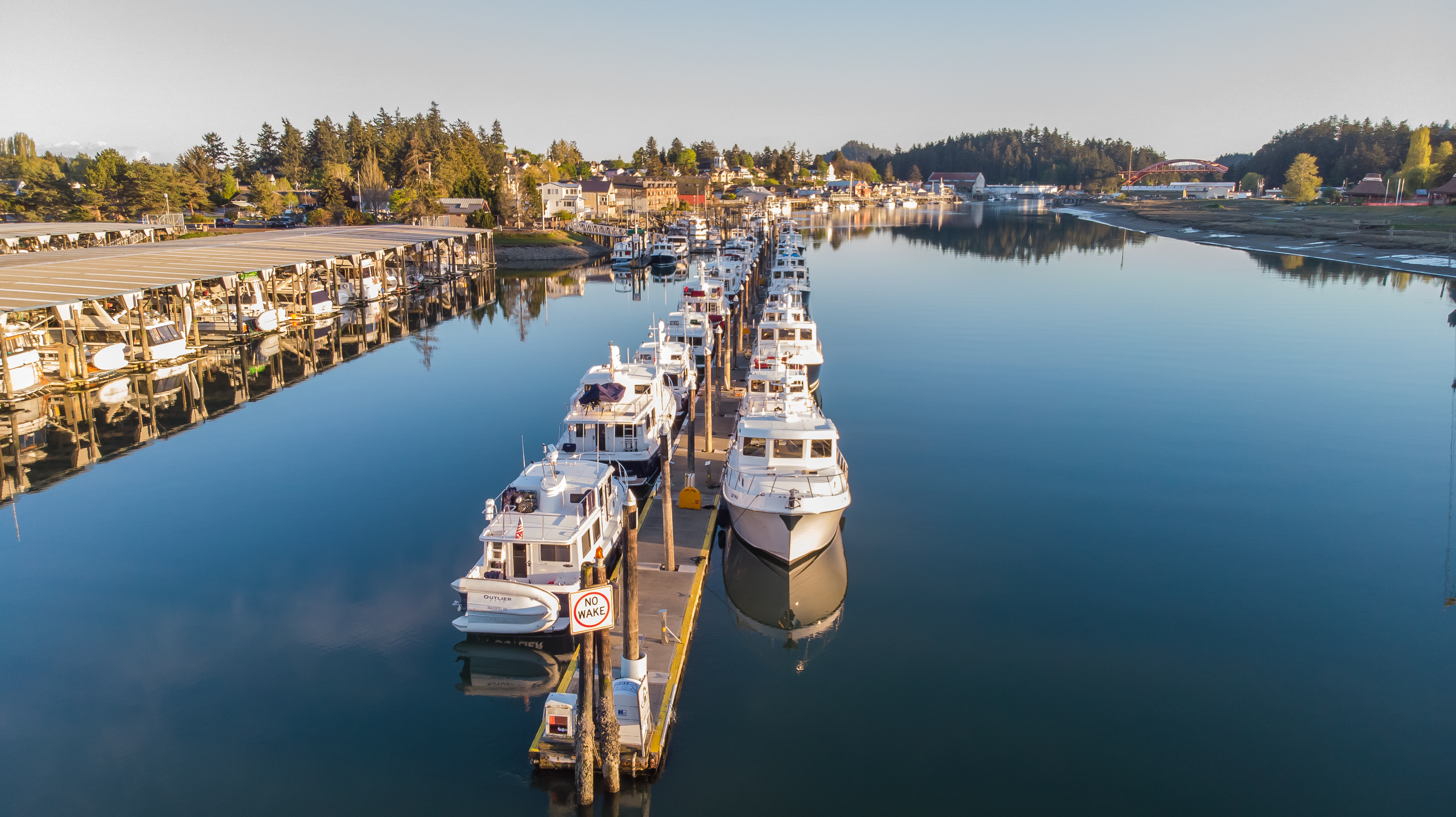
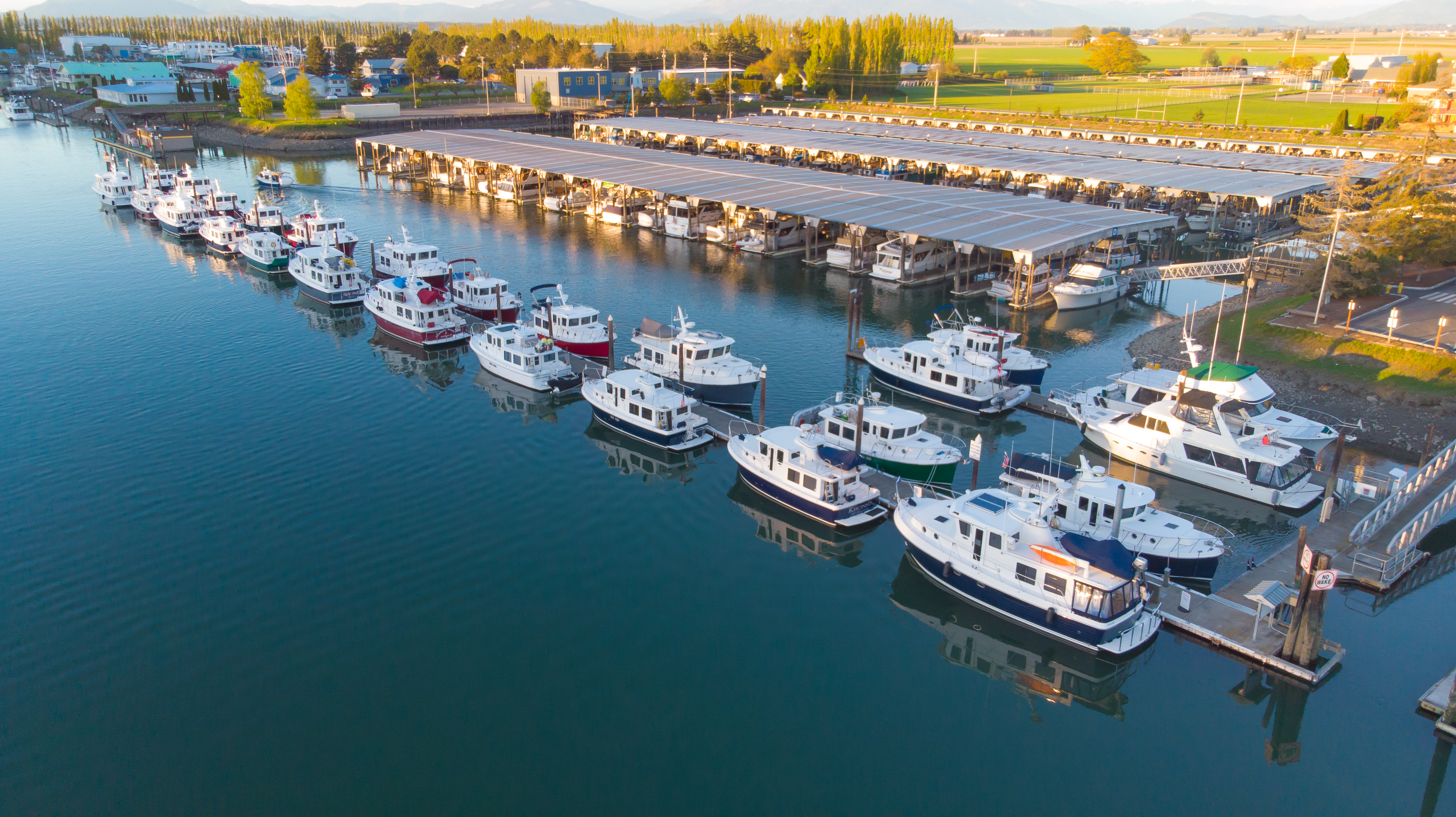
Boats photograph awkwardly from the dock — you get a hull, a piling and somebody else’s mast. From above, a marina reads as a shape, a vessel reads as a whole thing, and the light on the water does the rest. Early morning and last light are worth planning around.
Motion, when a still will not carry it
A race, a launch, an approach under power. Video holds the things a photograph cannot — speed, scale, and how a boat actually behaves in the water.
Structures, and things that need seeing whole
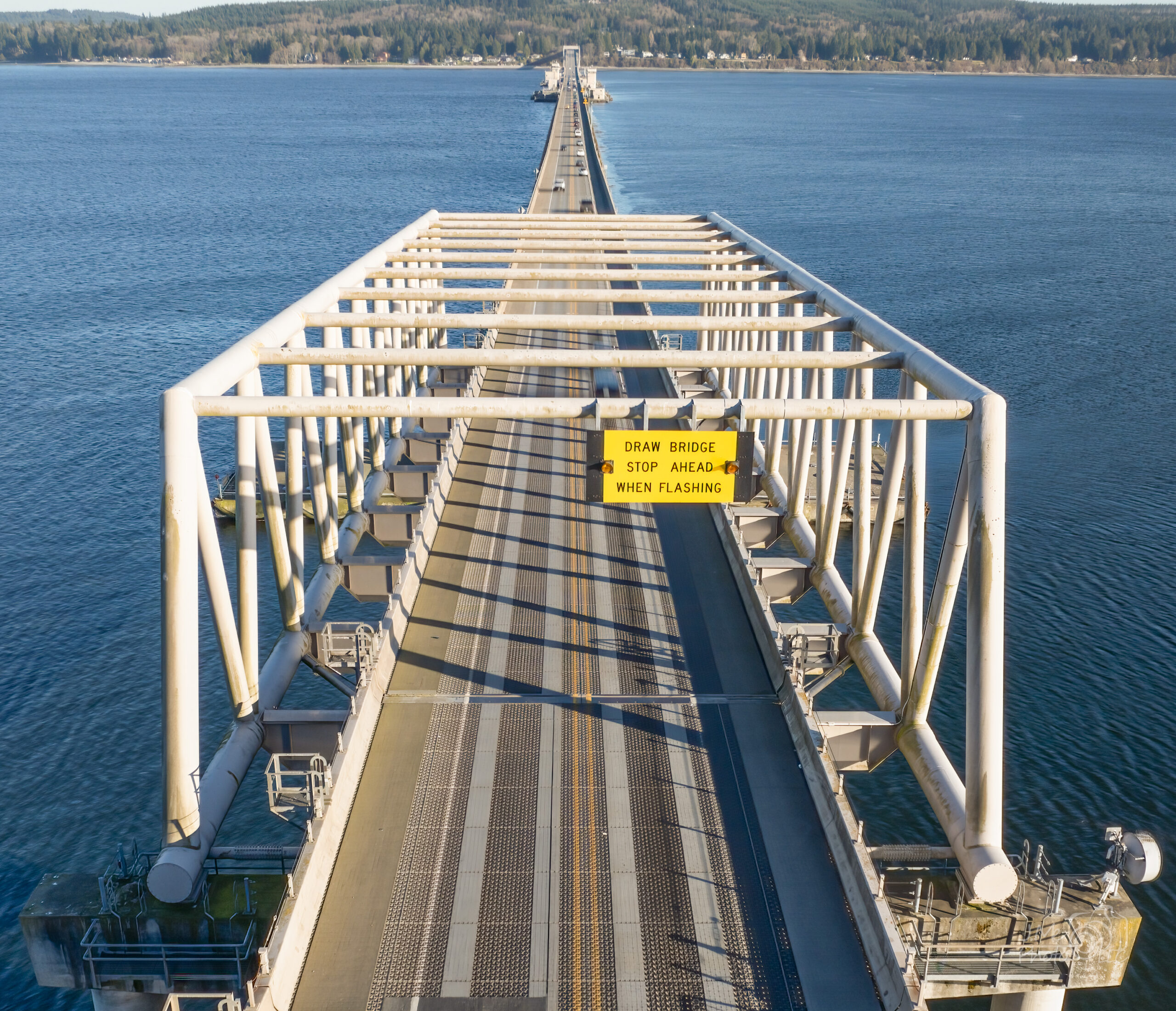
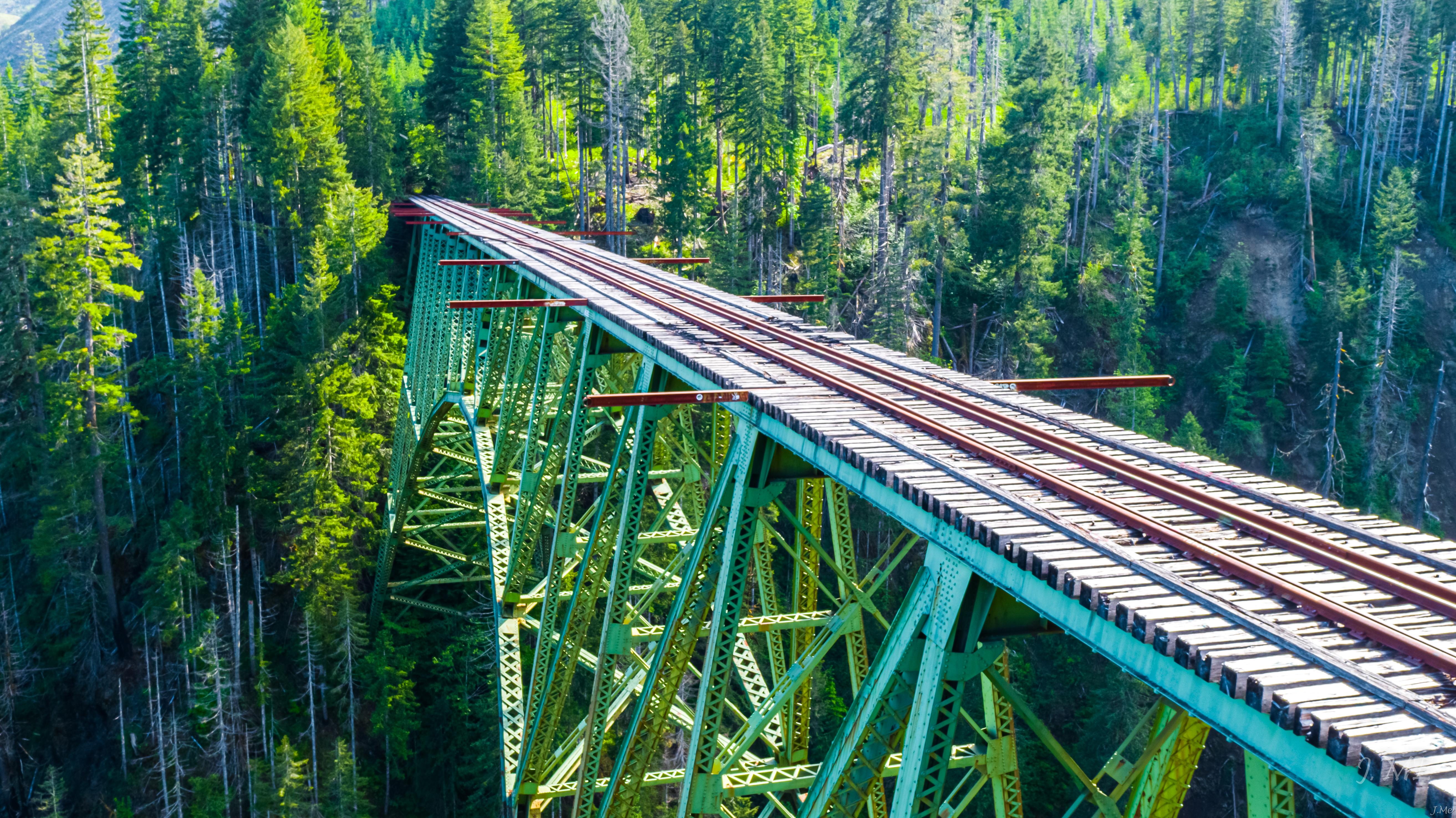
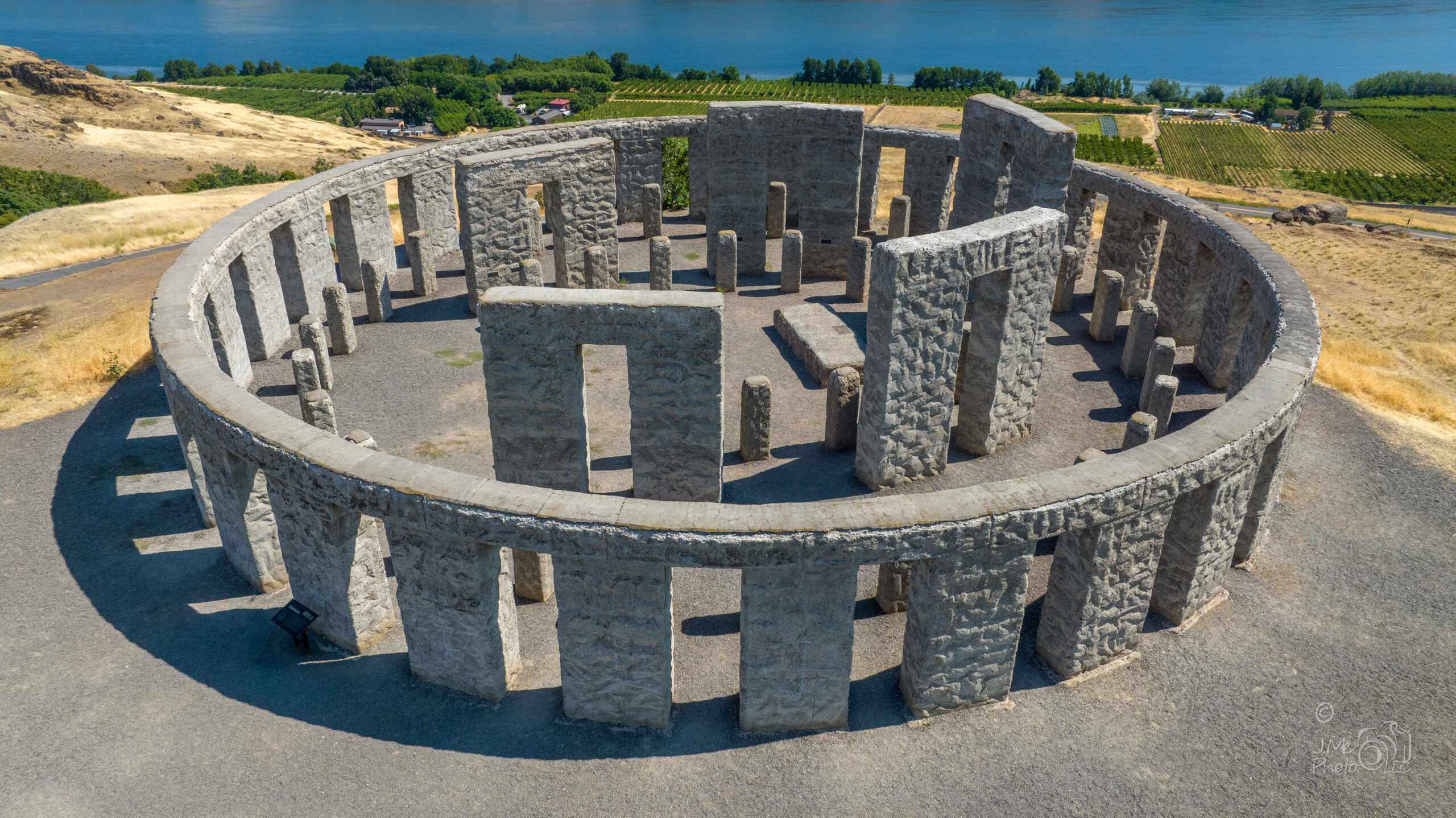
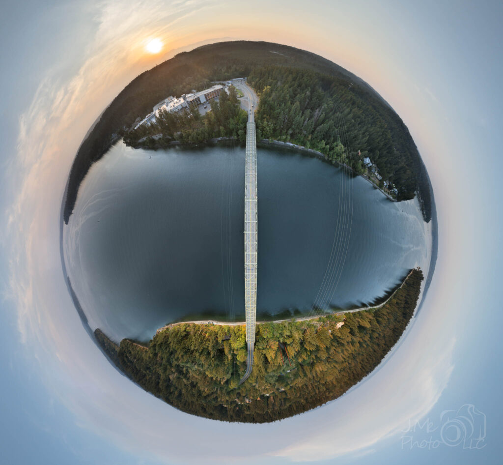
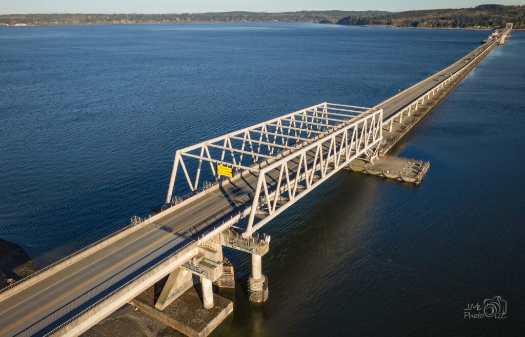
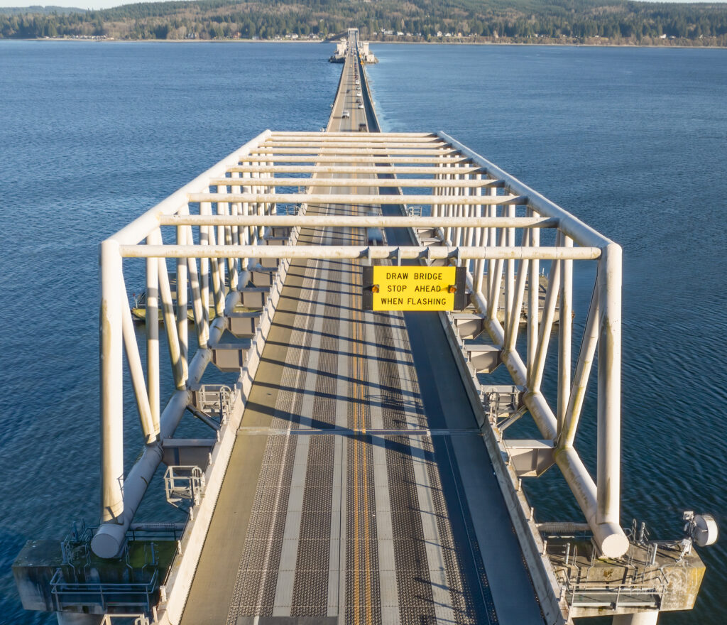
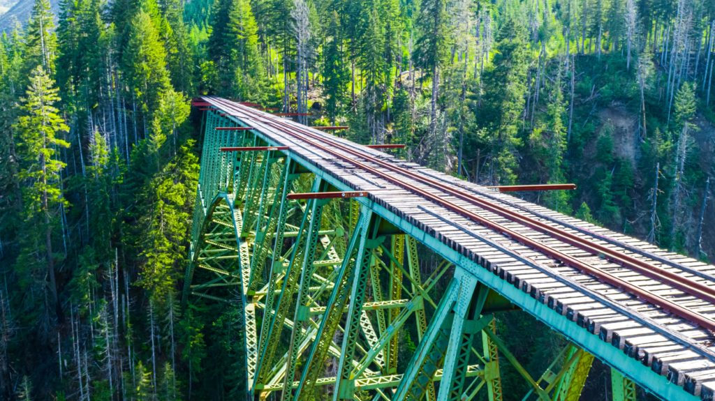
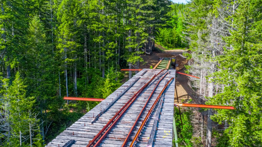
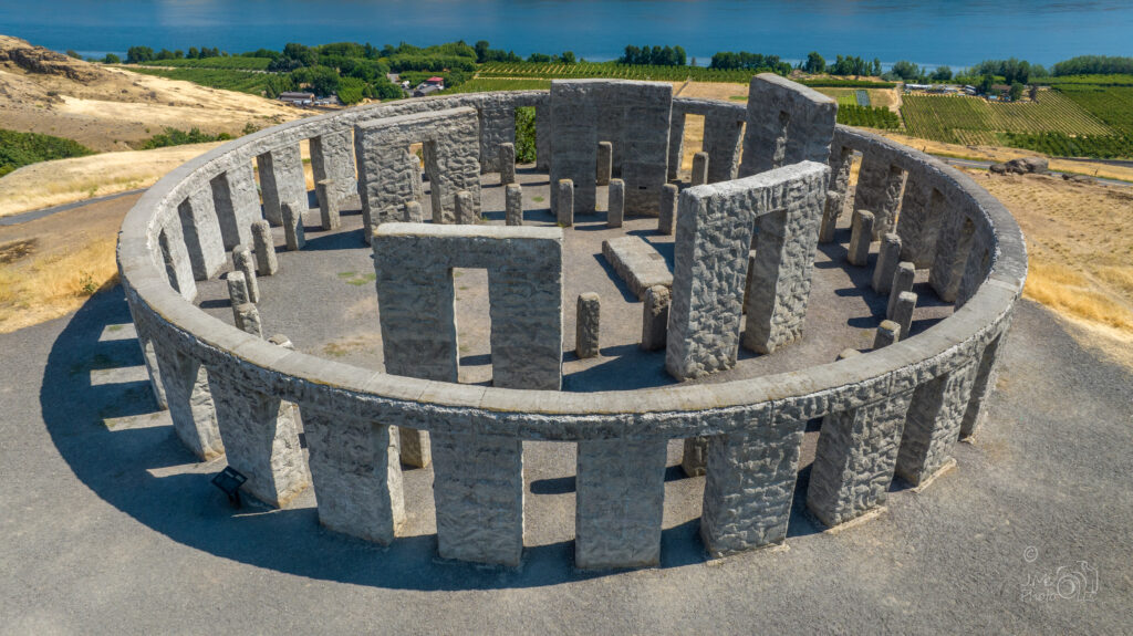
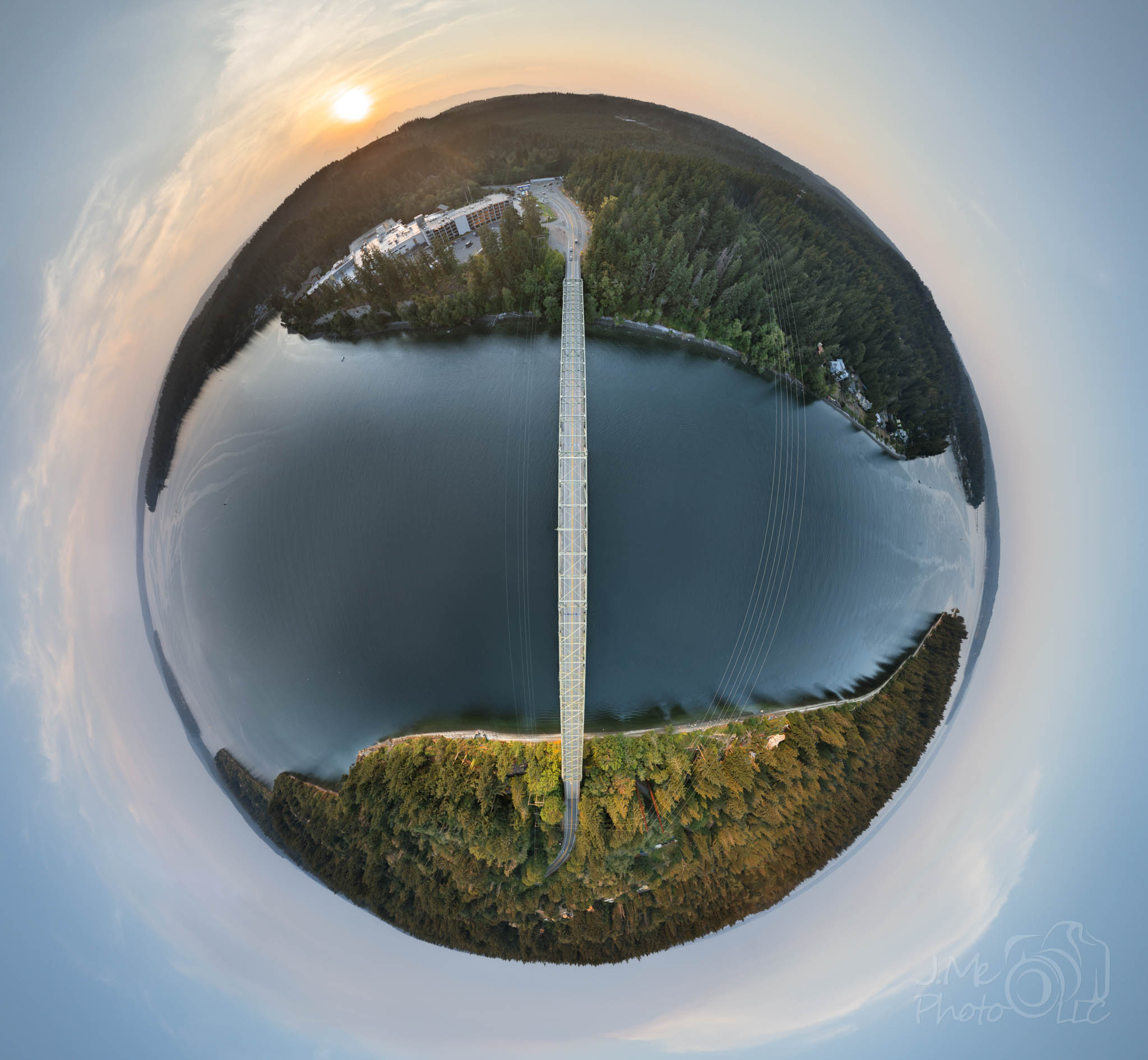
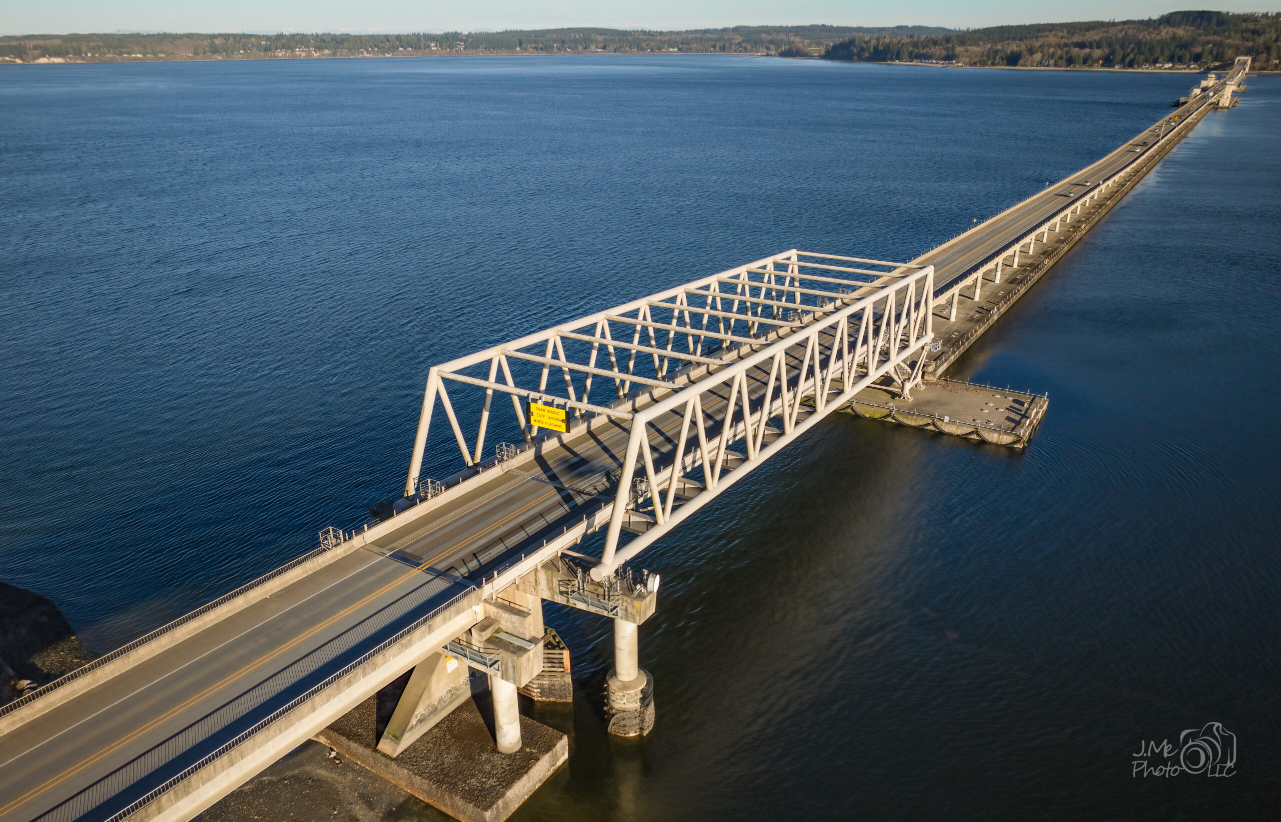
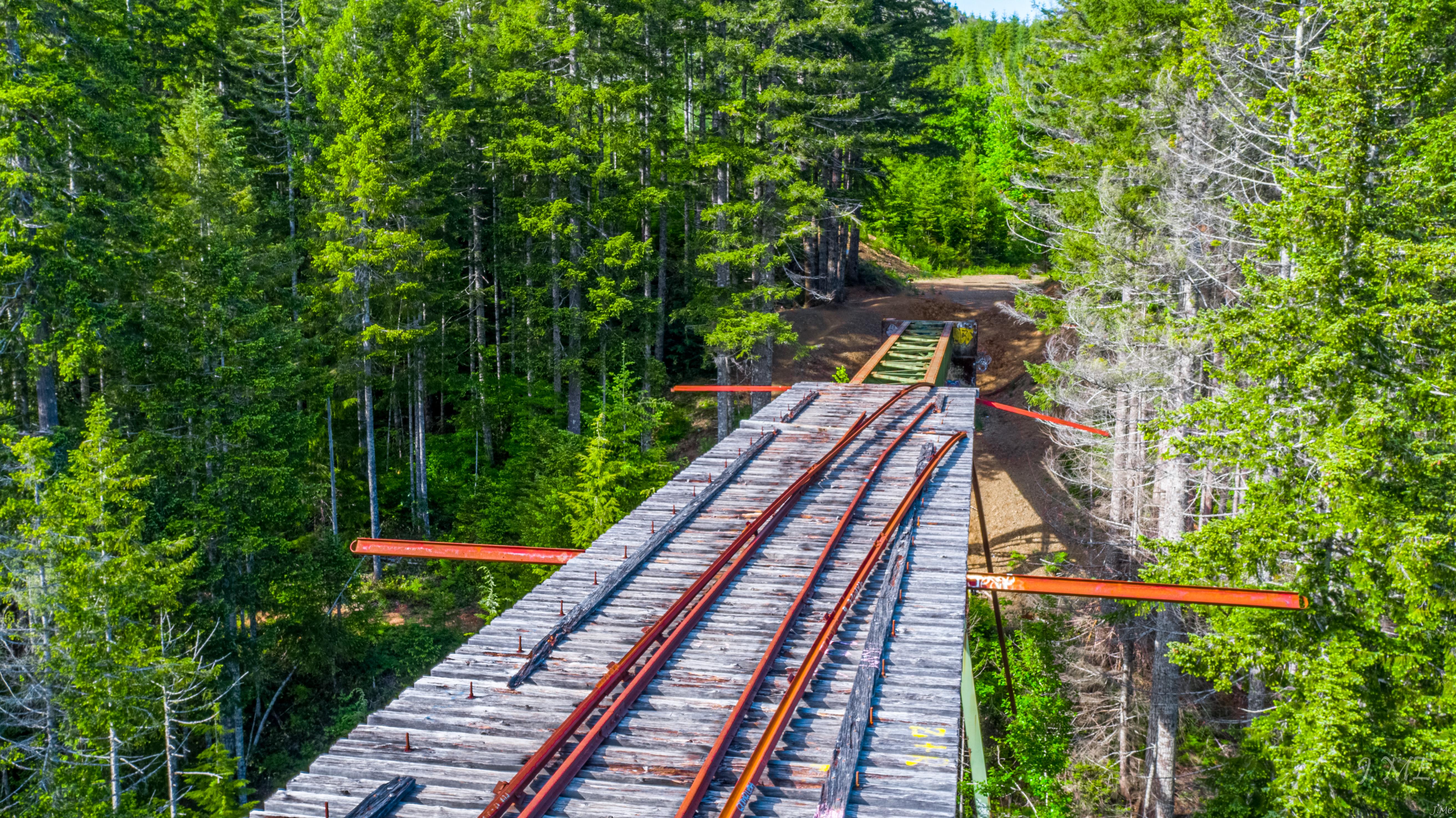
A bridge deck, a trestle, a site laid out end to end. This is the same job as photographing a boat: get high enough that the whole thing resolves into one readable shape. It works as well for a property, a construction site or an event as it does for a span of highway.
When something needs documenting
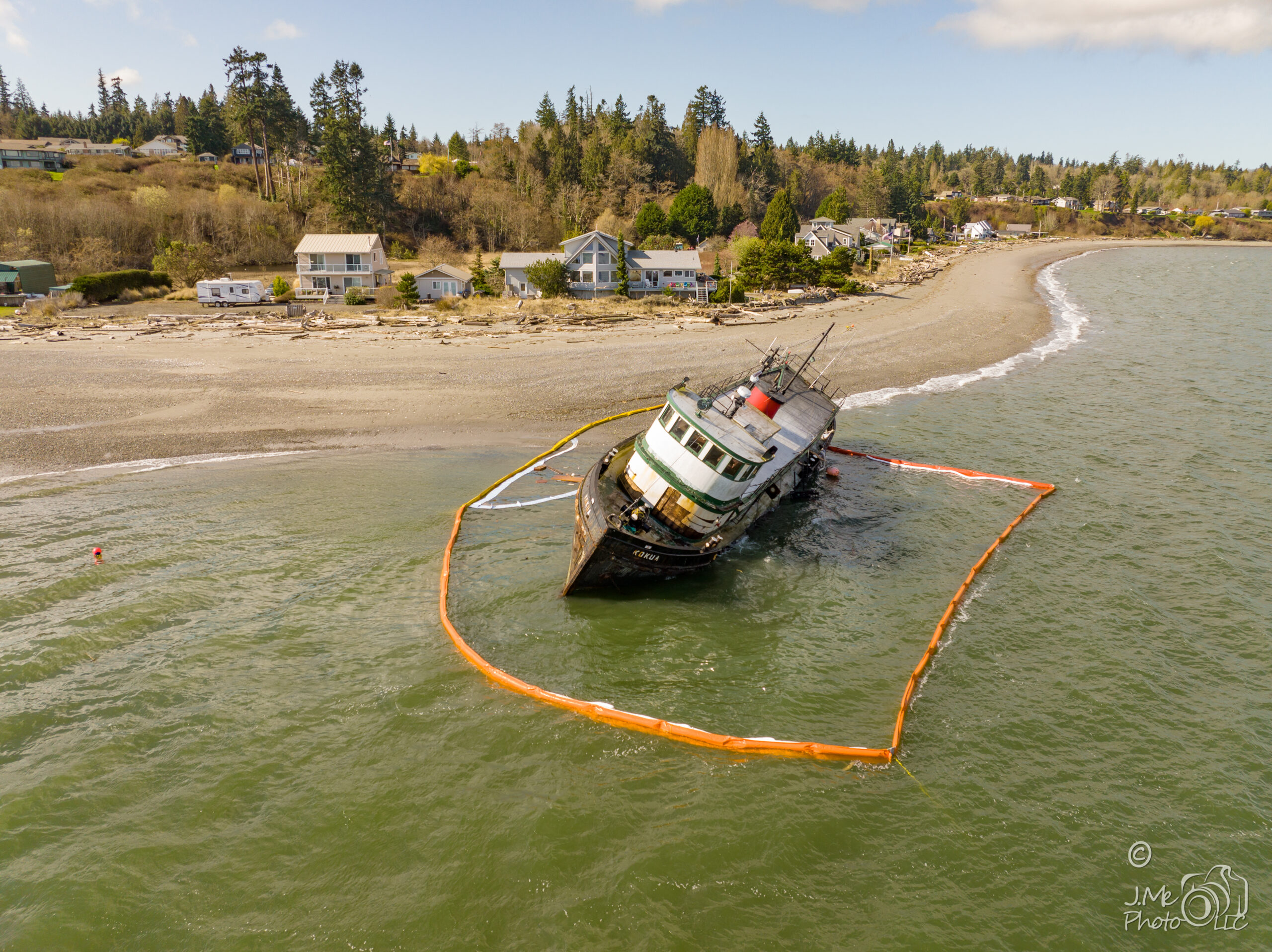
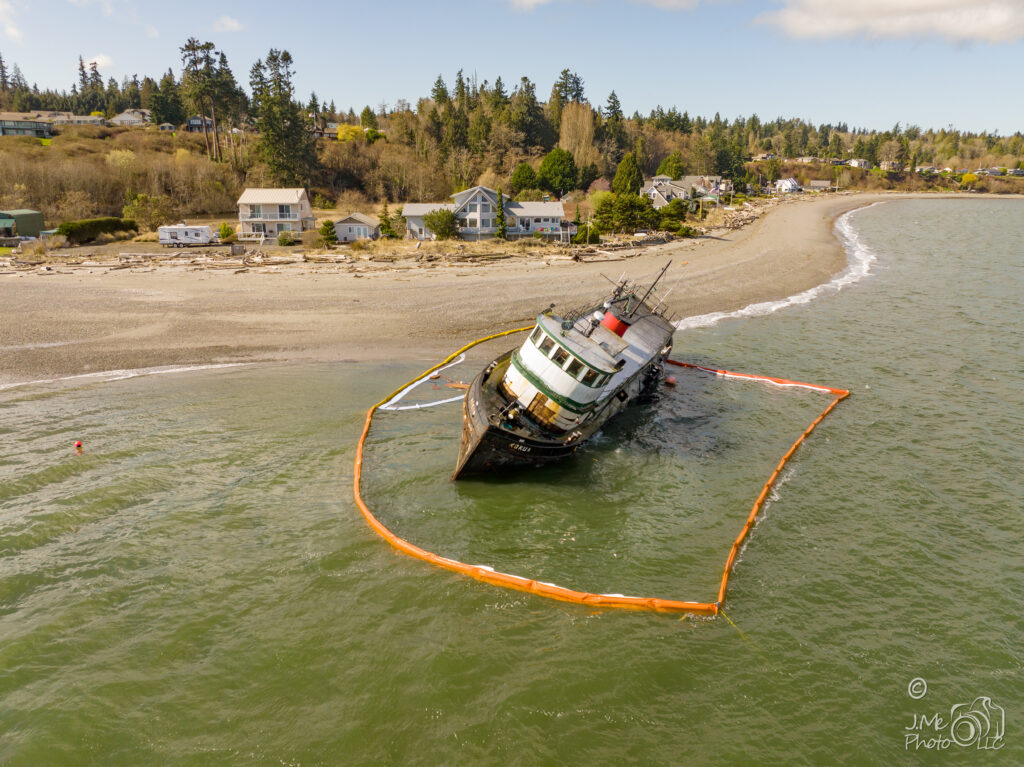
The tug Kokua, aground and ringed by an oil containment boom. Nobody plans that photograph. Being certified, insured and able to fly the same day is the difference between having a record of what happened and not having one.
More aerial work

Tell me what you need seen
Every flight is quoted — the site, the airspace, the weather window and the permissions all change what it takes. Bainbridge Island, Poulsbo and Kingston are close to home; further afield by arrangement. I typically reply within one working day.